
| GPS | |
|---|---|
| Galileo | |
| QZSS | |
| BeiDou | |
| IRNSS | |
| Barometric altimeter | |
| Compass | Yes (tilt-compensated 3-axis) |
| High-sensitivity receiver | |
| GPS compass (while moving) | |
| Multi-band frequency |
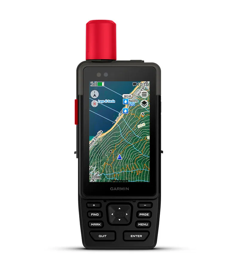
GPSMAP H1i Plus
174.900 kr.
6 á lager (hægt að leggja inn biðpöntun)
▼ LÝSING
▼ TÆKNIUPPLÝSINGAR
▼ AUKAHLUTIR
ÞEGAR ÆVINTÝRIN KALLA - SVARAR ÞÚ


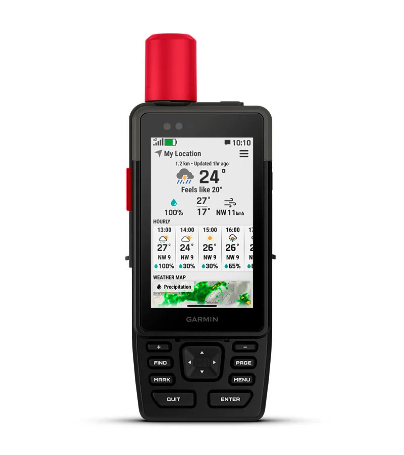
Forhlaðið göngukort, hægt að sækja gervihnattamyndir og Outdoor+ áskrift.


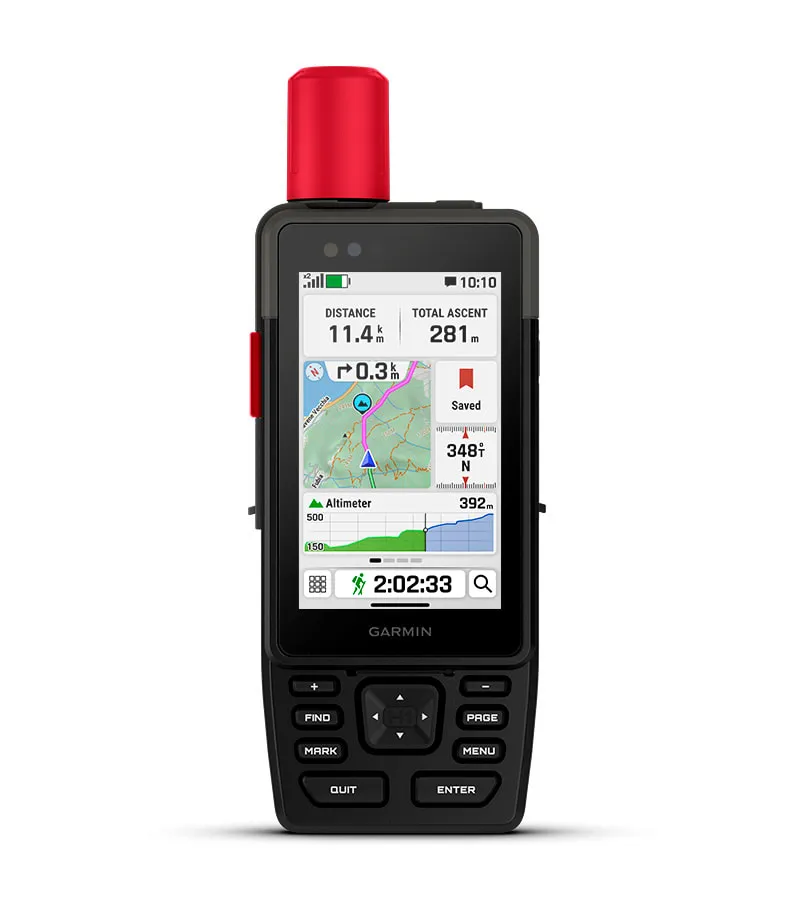
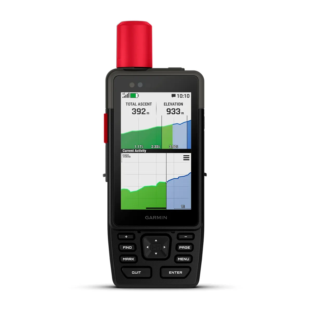
SNERTISKJÁR
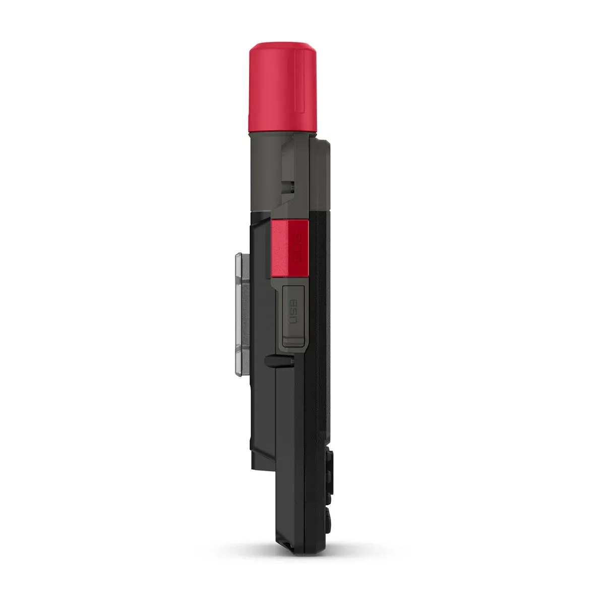
TAKKAR
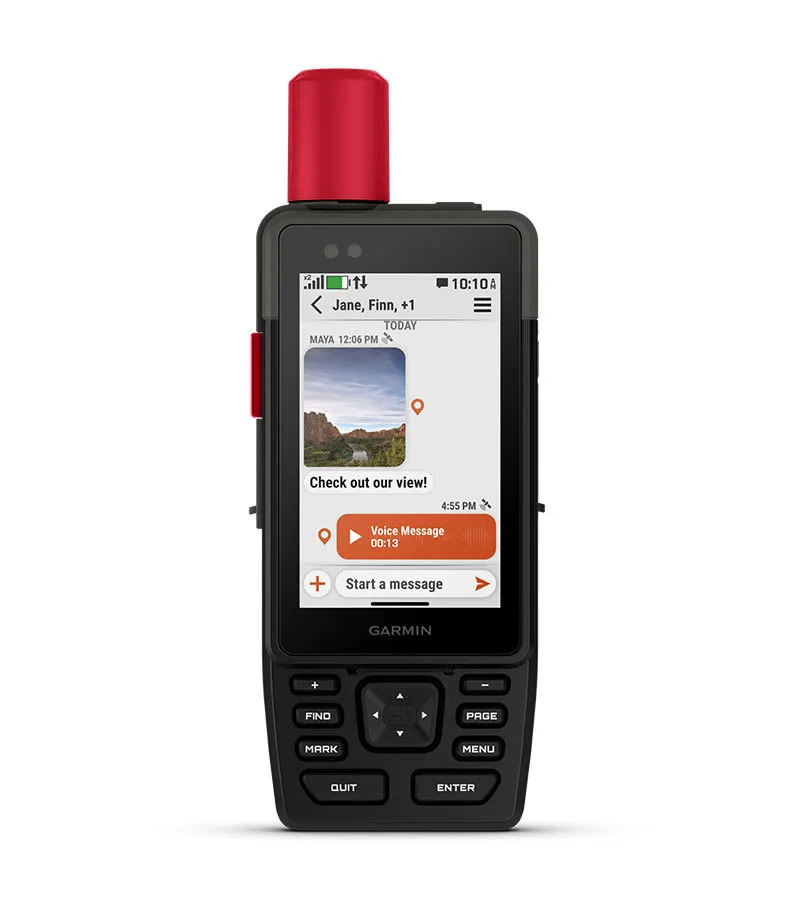
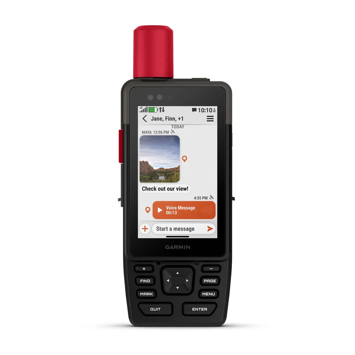
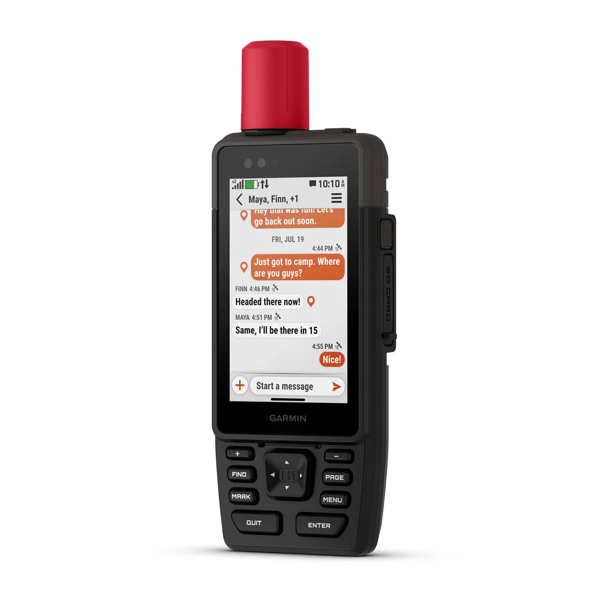
MYNDIR OG SKILABOÐ
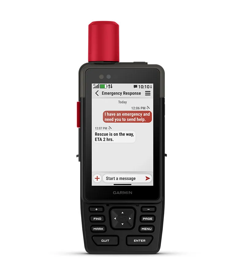
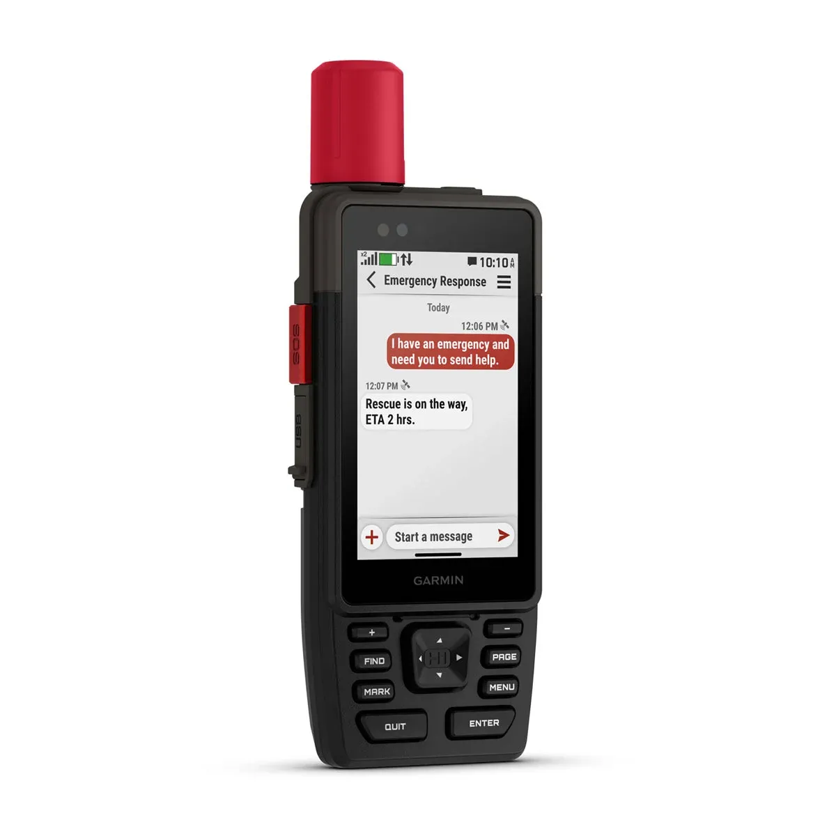
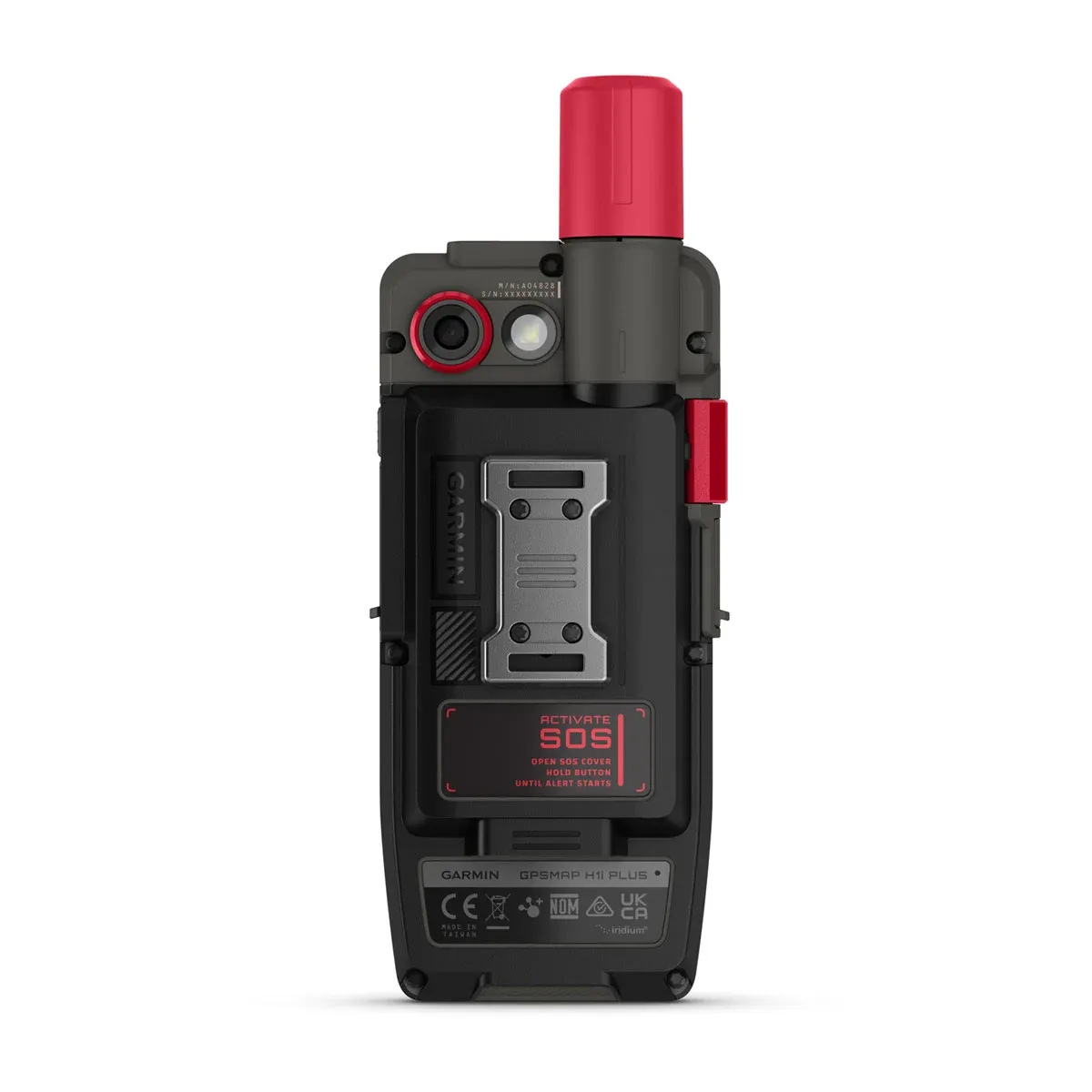
SOS NEYÐARBOÐ
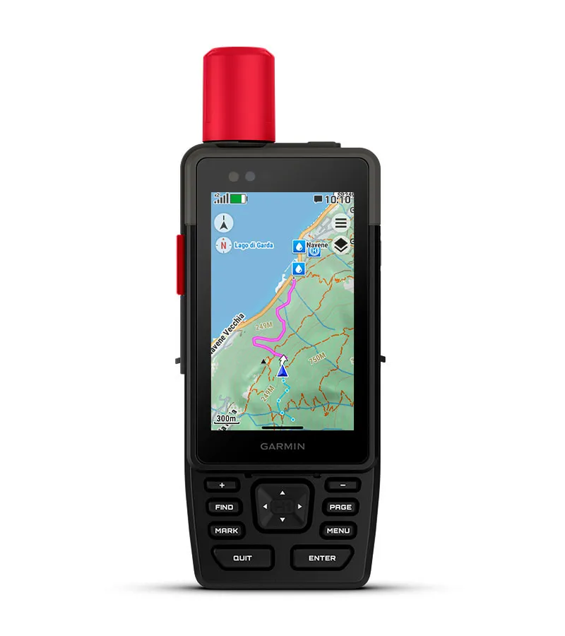
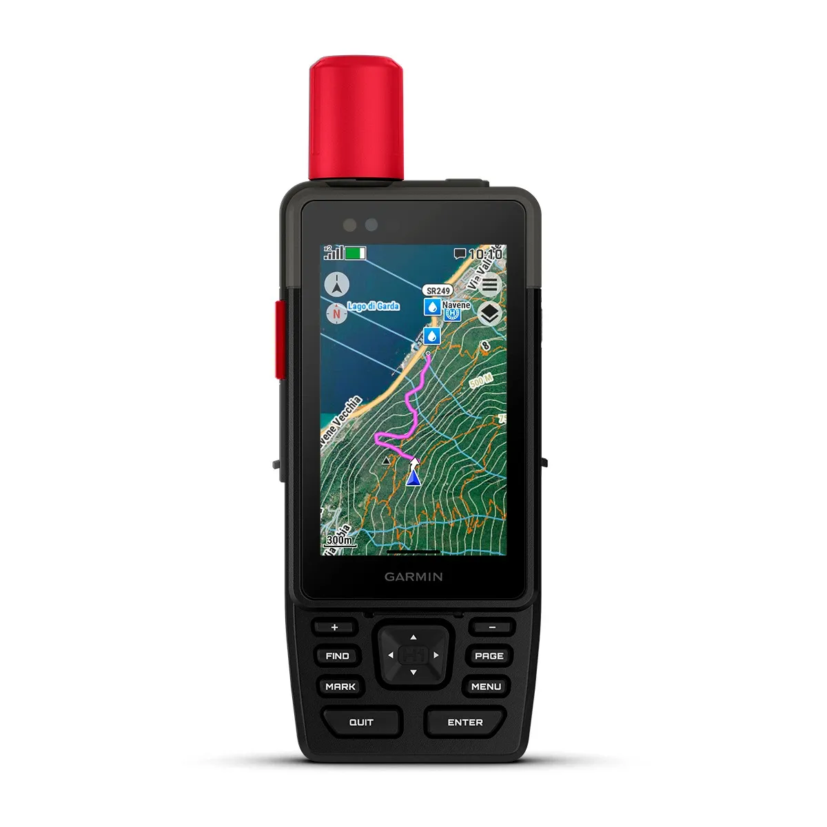
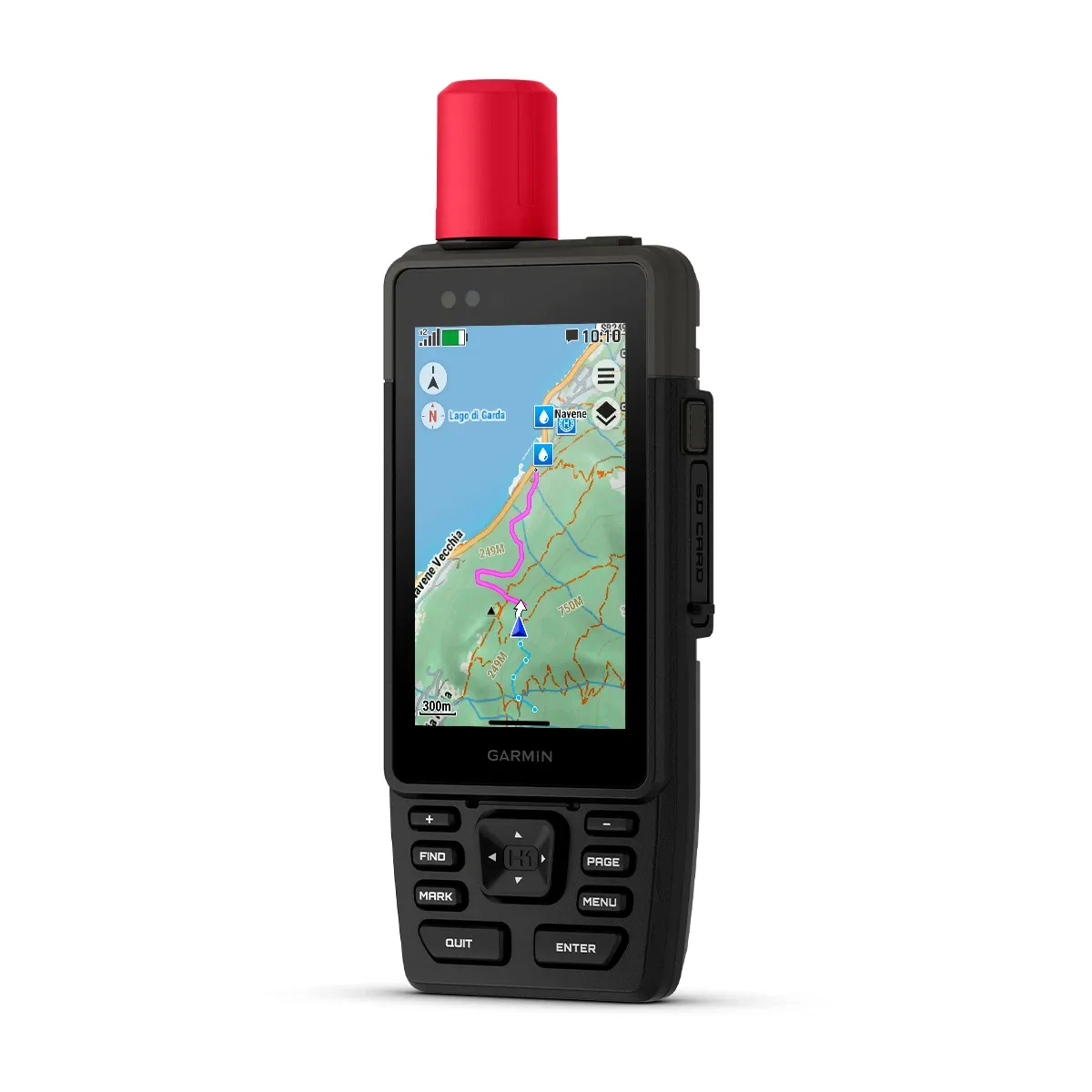
LANDAKORT
GERVIHNATTAMYNDIR
ÚTIVIST

OUTDOOR MAPS+
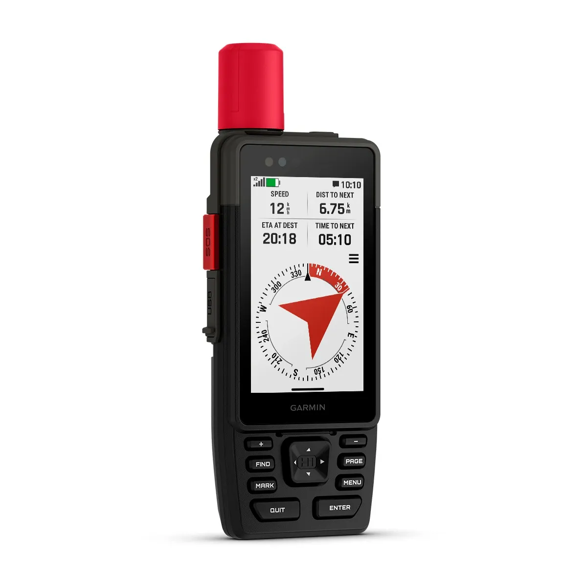
STAÐSETNING

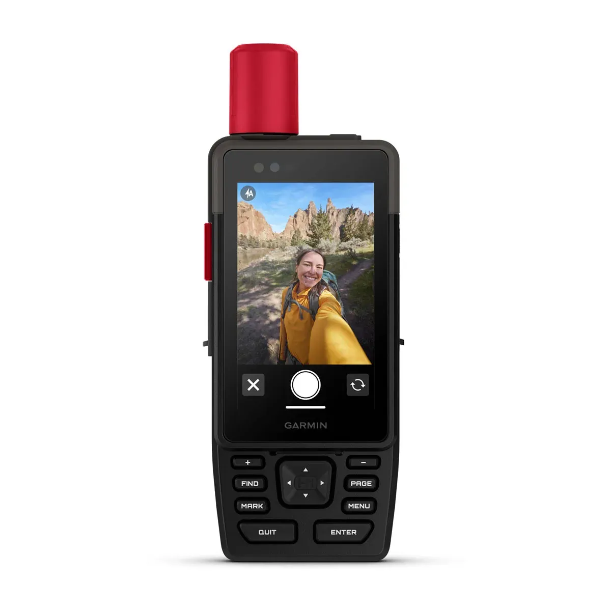
INNBYGGÐAR MYNDAVÉLAR

RADDSTÝRING
LIVETRACK™ DEILING

GARMIN VEÐUR

SKIPULEGGÐU FERÐINA
HÖNNUN

HJÁLPARTÓL
RAFHLÖÐUENDING

HARÐGERÐ HÖNNUN

Á FERÐINNI

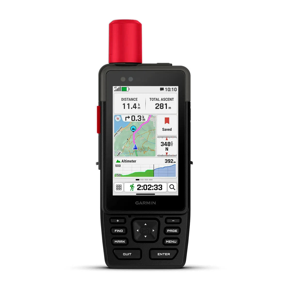
ABC SKYNJARAR
Í tækinu eru þriggja-ása rafeindakompás, hæðartölva og loftvog.
1Satellite subscription required. Some jurisdictions regulate or prohibit the use of satellite communication devices. It is your responsibility to know and follow all applicable laws in the jurisdictions where the device is intended to be used.
2Requires an active cellular connection and use of the Garmin Messenger app on your paired smartphone
TÆKNIUPPLÝSINGAR
General
| Lens material | Chemically strengthened glass |
|---|---|
| Dimension | 6.7 cm x 17.9 cm x 3.3 cm (2.6″ x 7″ x 1.3″) |
| Weight | 290 g (10.2 oz) |
| Water rating | IP67 |
| MIL-STD-810 | Yes (thermal, shock, water); bare unit only |
| Touchscreen | |
| Display Type | Transflective colour TFT |
| Display Size | 4.7 x 7.7 cm (1.9″W x 3″H), 8.9 cm (3.5″ diagonal) |
| Display Resolution | 282 x 470 pixels |
| Battery type | Rechargeable, internal lithium-ion |
| Battery life | Up to 48 hours with inReach enabled, 10 minute tracking, Performance messaging mode Up to 145 hours in GPS Mode Up to 425 hours in Expedition mode with inReach enabled Up to 840 hours in Expedition mode |
| Memory/history | 64 GB (user space varies based on included mapping) |
| Interface | USB-C |
Maps and memory
| Preloaded maps | |
|---|---|
| Ability to add maps | |
| Basemap | |
| Automatic routing (turn by turn routing on roads) for outdoor activities | |
| Map segments | 15,000 |
| Satellite Imagery | Yes (direct to device) |
| Includes detailed hydrographic features (coastlines, lake/river shorelines, wetlands and perennial and seasonal streams) | |
| Includes searchable points of interests (parks, campgrounds, scenic lookouts and picnic sites) | |
| Displays national, state and local parks, forests, and wilderness areas | |
| Storage and Power Capacity | Yes (1 TB max microSD card) |
| Waypoints | |
| Courses | unlimited |
| Activities | unlimited |
| Activity profiles | |
| GPX imports | |
| Rinex logging |
Sensors
Daily smart features
| Connect IQ™ (downloadable watch faces, data fields and apps) | |
|---|---|
| Smart notifications on handheld | |
| Weather (removing Active) | |
| Compatible with Garmin Messenger app | |
| Compatible with Garmin Connect™ Mobile | |
| Voice command | |
| Noise cancellation | |
| Voice assistant | |
| Voice notes | |
| Garmin Share | |
| Passcode | |
| Auto correct keyboard |
Safety and tracking features
Tactical features
Outdoor recreation
| Point-to-point navigation | |
|---|---|
| Spoken turn-by-turn directions | |
| TracBack® | |
| Area calculation | |
| Sun and moon information | |
| Geocaching-friendly | Yes (Geocache Live) |
| Custom maps compatible | Yes (500 custom map tiles) |
| Picture viewer | |
| inReach remote widget | |
| LED beacon flashlight | |
| Flashlight |
inReach® features
Outdoor applications
| Compatible with Garmin Explore™ app | |
|---|---|
| Garmin Explore website compatible | |
| Smart switching between Wi-Fi, Mobile and Satellite with Garmin Messenger app | |
| Dog tracking | Yes (when paired to compatible dog track system) |
Connections
| Connections Wireless Connectivity | Yes (Wi-Fi®, BLUETOOTH®, ANT+®) |
|---|
Security information
| Security updates until at least (YYYY-MM-DD) | 2027-09-03 |
|---|
AUKAHLUTIR
Þér gæti einnig líkað við…
-

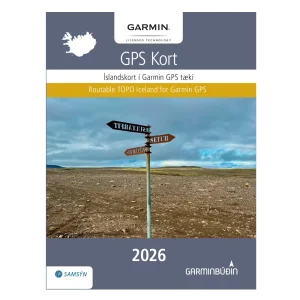
Garmin Íslandskort 2026 – Rafræn útgáfa
14.900 kr. -
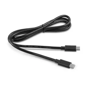
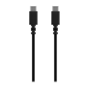
Kapall USB-C í USB-C (1m)
4.900 kr. -
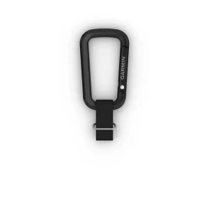
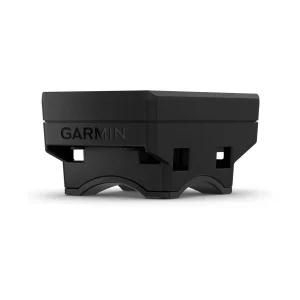
Karabínufesting fyrir GPSMAP H1
2.900 kr. -
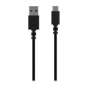
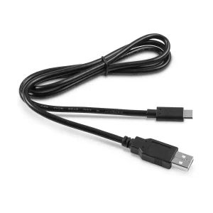
Kapall USB-A í USB-C (0,5m)
3.900 kr. -
Bakpokafesting fyrir GPSMAP H1
5.900 kr. -
Kapall USB-C í USB-C (0,5m)
3.900 kr. -
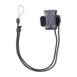
Reiðhjólafesting fyrir GPSMAP H1
2.900 kr. -
Kapall USB-A í USB C (1m)
4.400 kr. -
Garmin Íslandskort 2026 – Prentuð útgáfa
14.900 kr.