
| GPS | |
|---|---|
| GLONASS | |
| Galileo | |
| QZSS | |
| BeiDou | |
| IRNSS | |
| Barometric altimeter | |
| Compass | |
| High-sensitivity receiver | |
| GPS compass (while moving) | |
| Multi-band frequency |
Etrex Touch
79.900 kr.
4 á lager (hægt að leggja inn biðpöntun)
▼ LÝSING
▼ TÆKNIUPPLÝSINGAR
▼ AUKAHLUTIR
LÁTTU ÆVINTÝRIÐ HEFJAST


Hægt að bæta við kortaupplýsingum með áskrift af Outdoor Maps+.
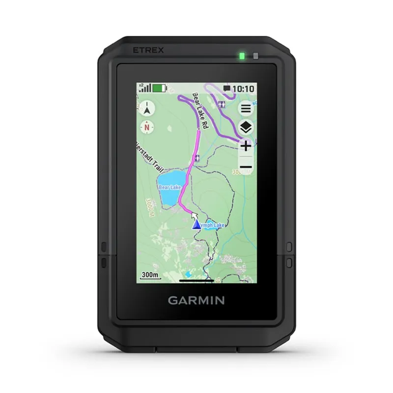
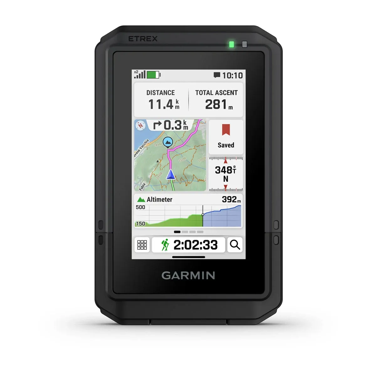
SNERTISKJÁR
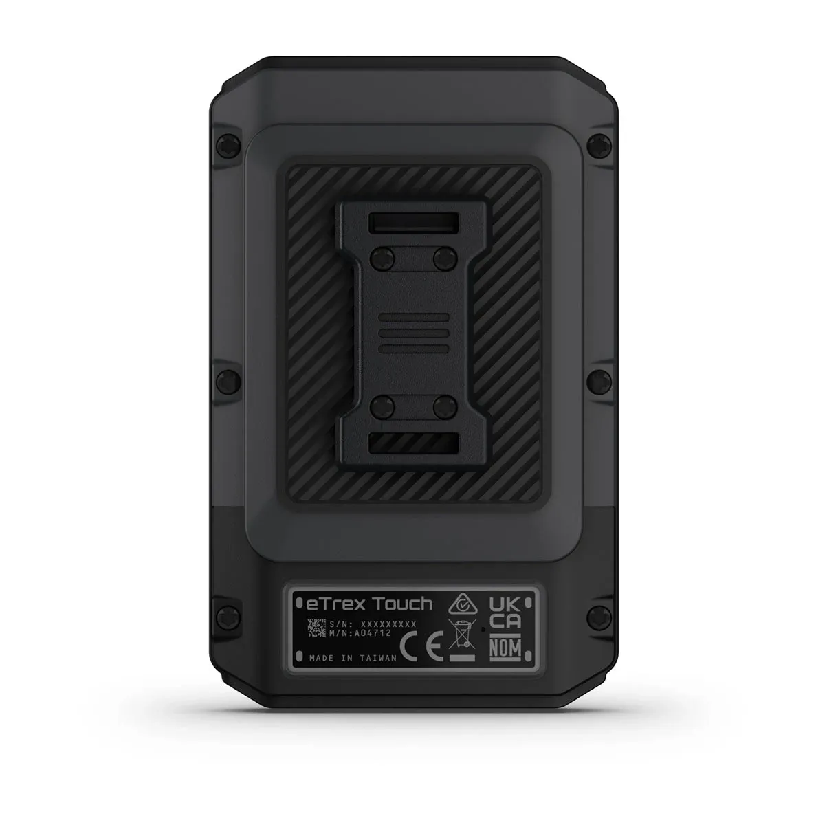
HARÐGERÐ HÖNNUN
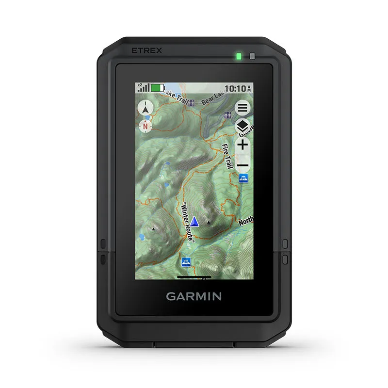
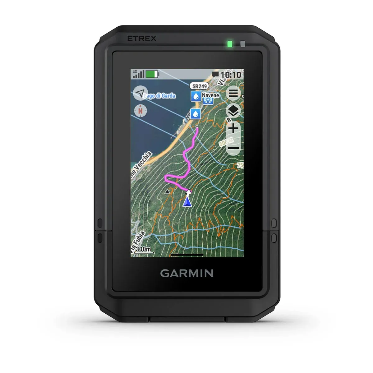
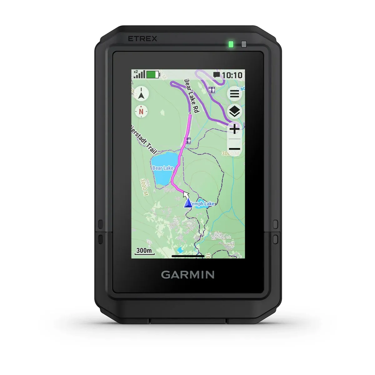
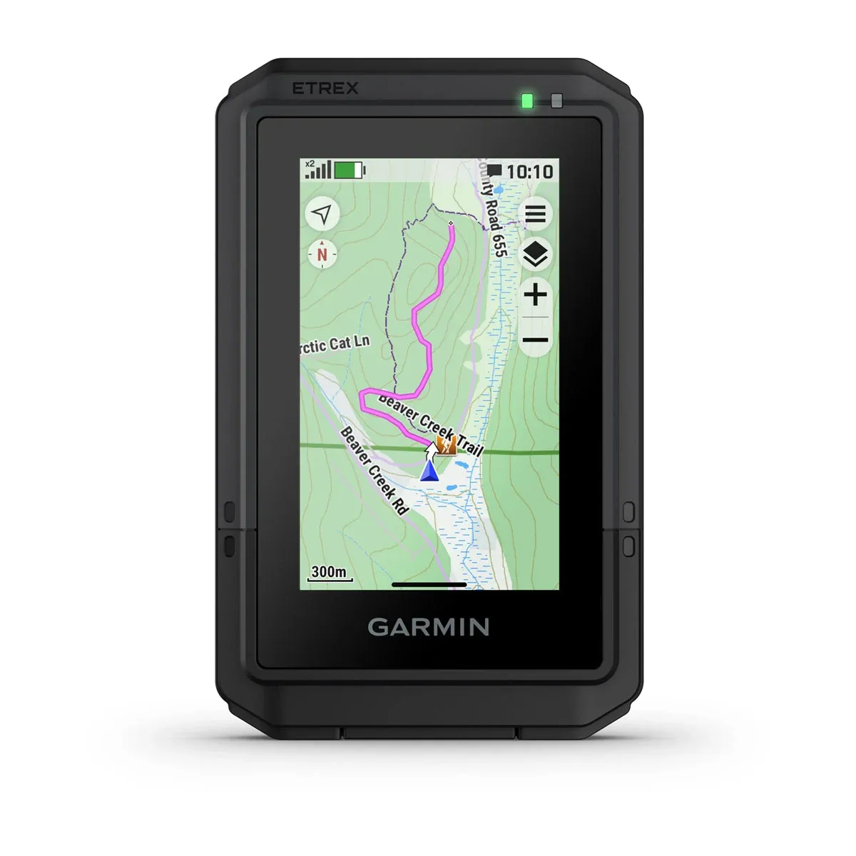
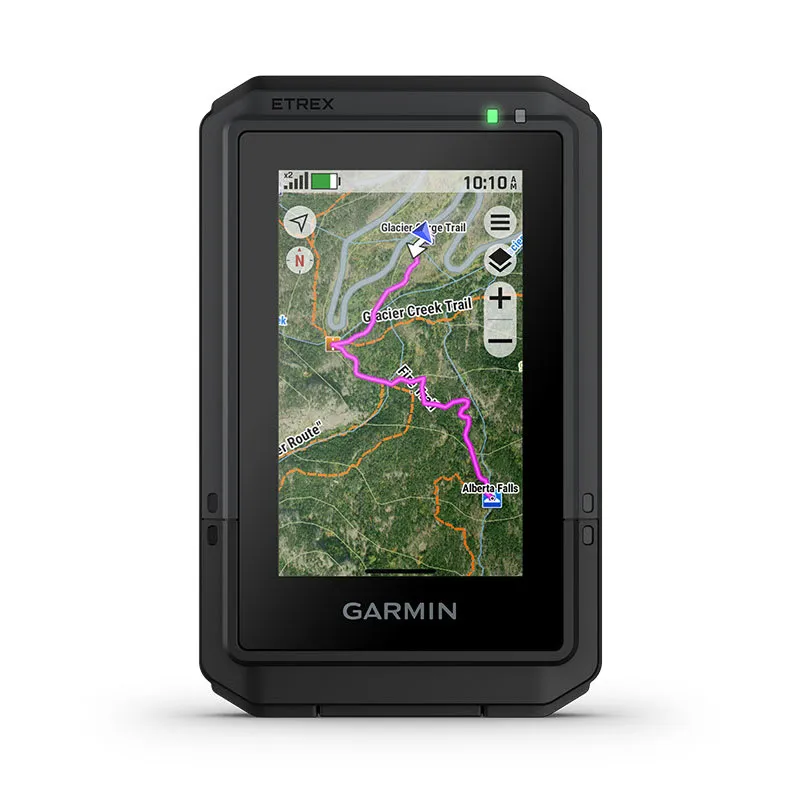
LANDAKORT
OUTDOOR MAPS+
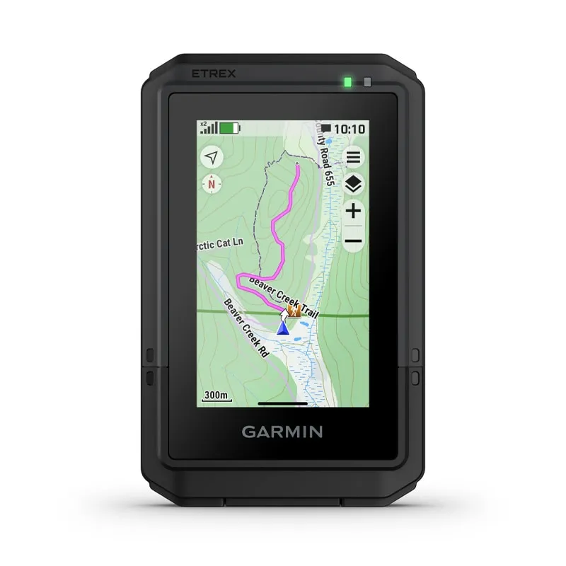
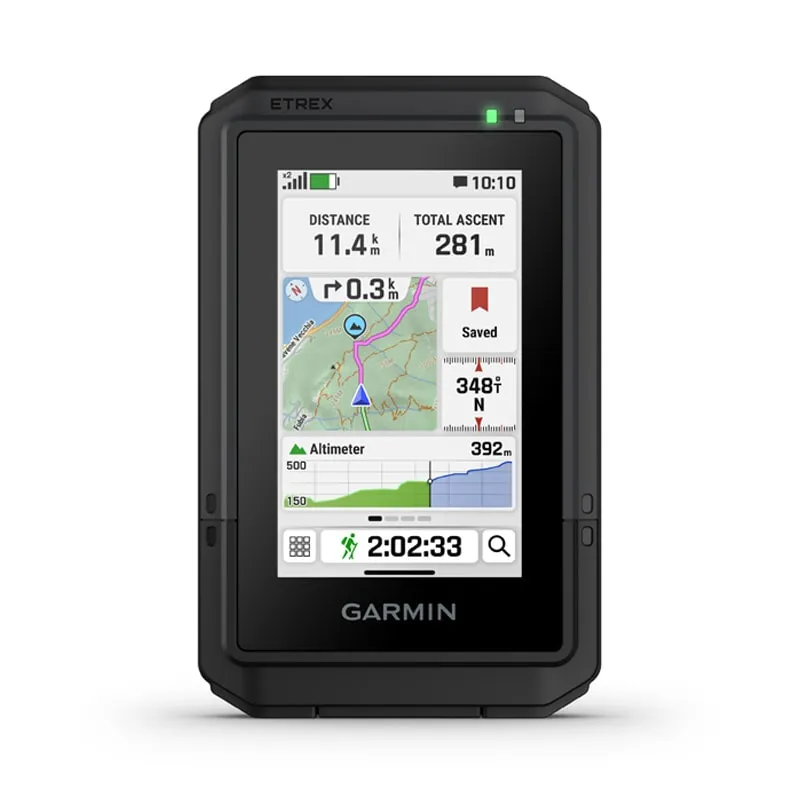
SKIPULEGGÐU FERÐINA
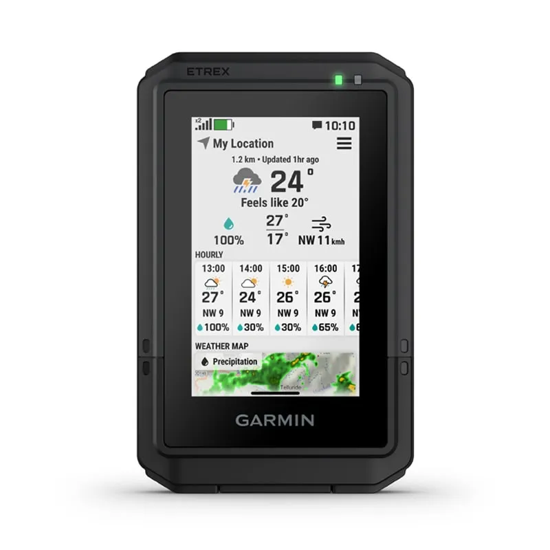
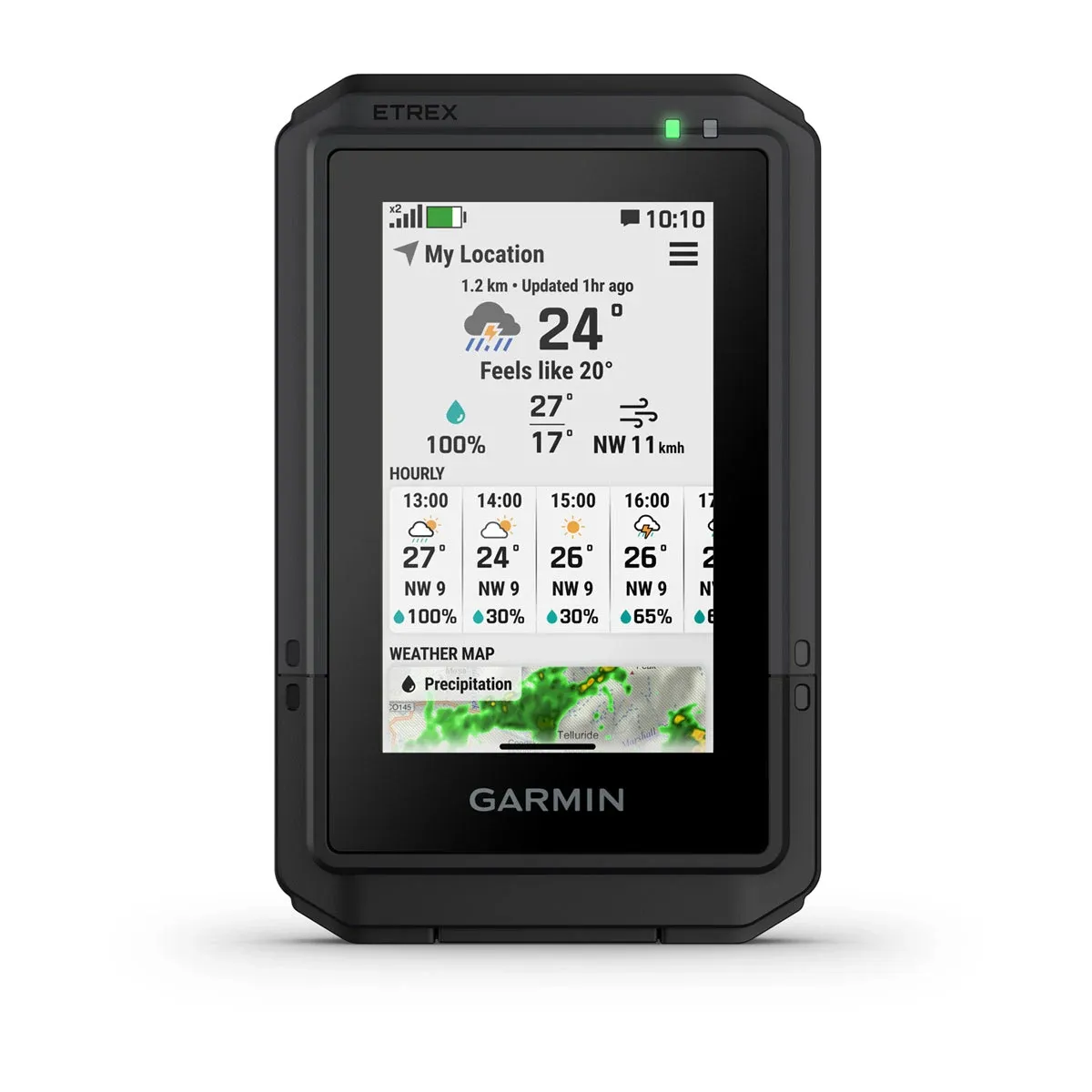
GARMIN VEÐUR
ÚTIVIST

RAFHLÖÐUENDING
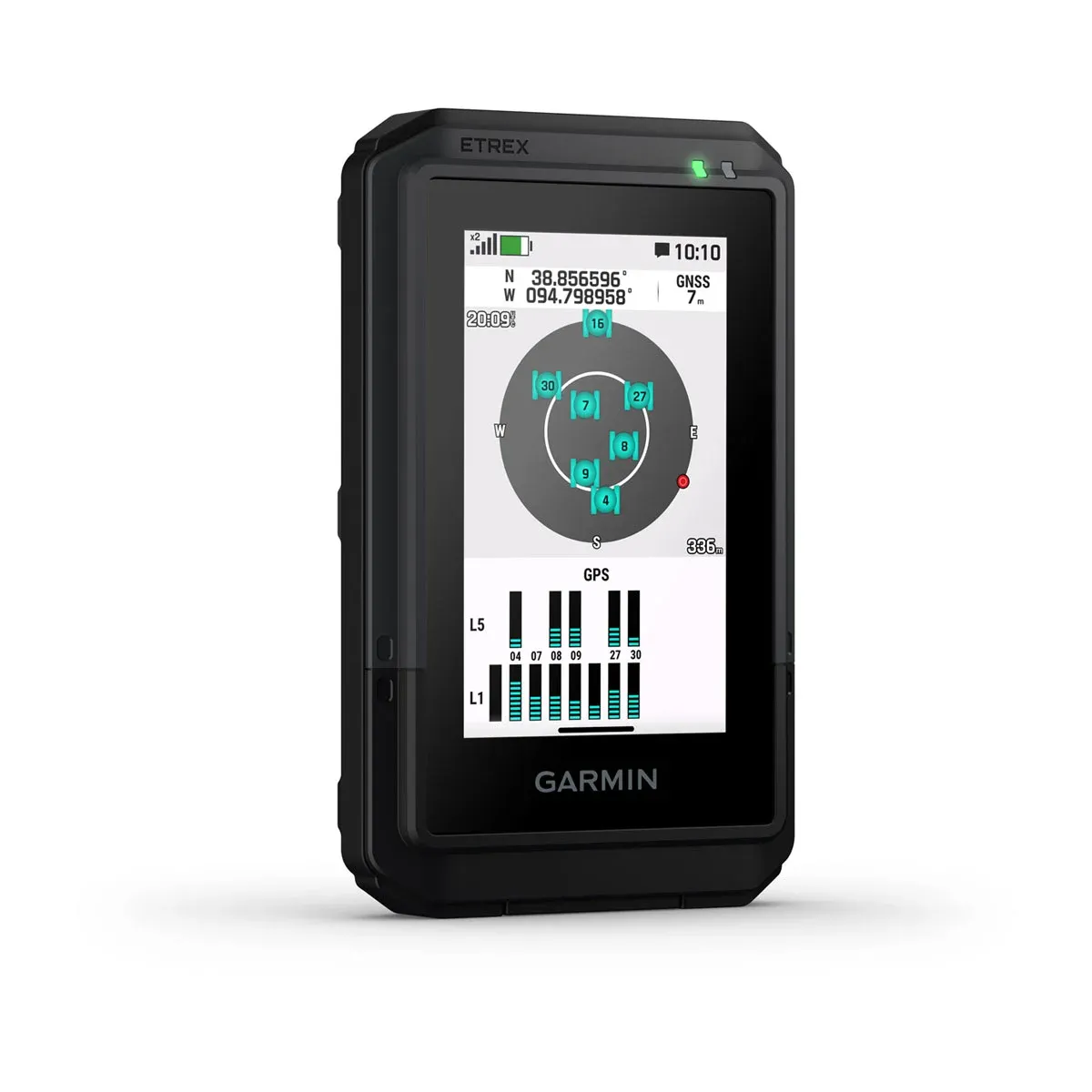
NÁKVÆM GPS STAÐSETNING

ÞÚ FINNUR NÝJA ÁFANGASTAÐI

HÆKKUN FRAMUNDAN

RAFEINDAKOMPÁS
Fylgdu stefnu þinni með rafeindakompás sem sýnir nákvæma átt — jafnvel þegar þú stendur kyrr.

FJÁRSJÓÐSLEIT

GARMIN SHARE

Á FERÐINNI
TÆKNIUPPLÝSINGAR
General
| Lens material | Chemically strengthened glass |
|---|---|
| Dimension | 66 mm x 105.4 mm x 24.6 mm (2.6″ x 4.15″ x 0.97″) |
| Weight | 150 g (5.3 oz) |
| Water rating | IP67 |
| Touchscreen | |
| Display Type | 3″ transflective colour TFT |
| Display Size | 3.88 cm x 6.48 cm (1.53″ x 2.55″); 7.62 cm (3″) diag |
| Display Resolution | 240 x 400 pixels |
| Battery type | Rechargeable, internal lithium-ion |
| Battery life | All Satellite Systems + Multi-Band: Up to 130 hours* Expedition Mode: up to 650 hours *Assuming typical use with SatIQ technology |
| Memory/history | 32 GB (user space varies based on included mapping) |
| Interface | USB-C |
Maps and memory
| Preloaded maps | Yes (TopoActive, routable) |
|---|---|
| Ability to add maps | |
| Basemap | |
| Automatic routing (turn by turn routing on roads) for outdoor activities | |
| Map segments | Yes (15,000) |
| Satellite imagery | Yes (via Outdoor Maps+ subscription) |
| Includes detailed hydrographic features (coastlines, lake/river shorelines, wetlands and perennial and seasonal streams) | |
| Includes searchable points of interests (parks, campgrounds, scenic lookouts and picnic sites) | |
| Displays national, state and local parks, forests, and wilderness areas | |
| Waypoints | |
| Courses | Unlimited |
| Activities | Unlimited |
| Activity profiles | |
| GPX imports |
Sensors
Daily smart features
| Connect IQ™ (downloadable watch faces, data fields and apps) | |
|---|---|
| Smart notifications on handheld | |
| Weather forecasts | |
| Weather (removing Active) | |
| Compatible with Garmin Connect™ Mobile | |
| Garmin Share | |
| Passcode | |
| Next Word, Auto Complete, Auto Correct | Yes (Next Word, Auto Complete, Auto Correct) |
Safety and tracking features
Tactical features
Outdoor recreation
| Point-to-point navigation | |
|---|---|
| TracBack® | |
| Area calculation | |
| Sun and moon information | |
| Geocaching-friendly | Yes (Geocache Live) |
| Custom maps compatible | Yes (500 custom map tiles) |
| Picture viewer |
Outdoor applications
| Compatible with Garmin Explore™ app | |
|---|---|
| Garmin Explore website compatible |
Connections
| Connections Wireless Connectivity | Yes (Wi-Fi®, BLE, ANT+®) |
|---|
Security information
| Security updates until at least (YYYY-MM-DD) | 2027-09-30 |
|---|
AUKAHLUTIR
Þér gæti einnig líkað við…
-

Reiðhjólafesting fyrir GPSMAP H1
2.900 kr. -
Bakpokafesting fyrir GPSMAP H1
5.900 kr. -
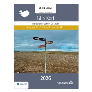
Garmin Íslandskort 2026 – Prentuð útgáfa
14.900 kr. -
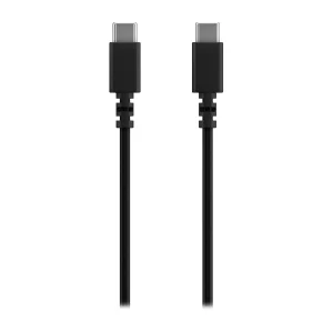
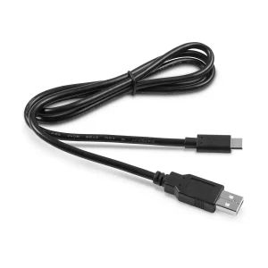
Kapall USB-C í USB-C (0,5m)
3.900 kr. -
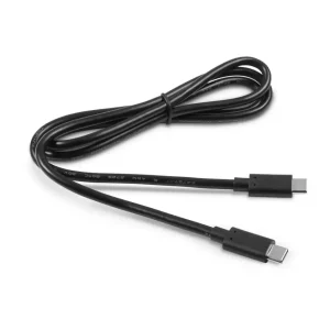
Kapall USB-C í USB-C (1m)
4.900 kr. -
Kapall USB-A í USB-C (0,5m)
3.900 kr. -
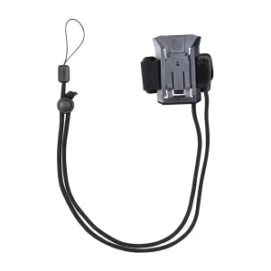
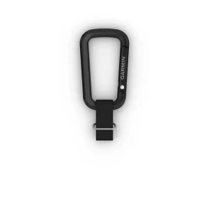
Karabínufesting fyrir GPSMAP H1
2.900 kr. -
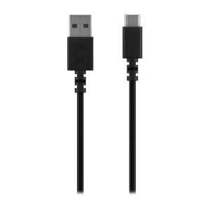
Kapall USB-A í USB C (1m)
4.400 kr. -
Garmin Íslandskort 2026 – Rafræn útgáfa
14.900 kr.